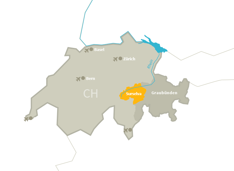
mia Surselva
Cordial beinvegni / Willkommen in der Surselva
Fernab von Massentourismus und Alltagshektik lädt die Surselva ins Sommerparadies in den Bergen ein. In unserer ruhigen und authentischen Naturregion warten grossartige Erlebnisse auf Sie.
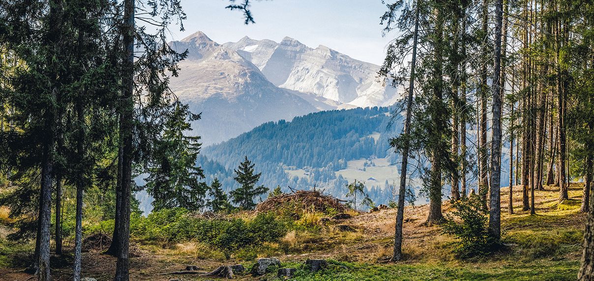
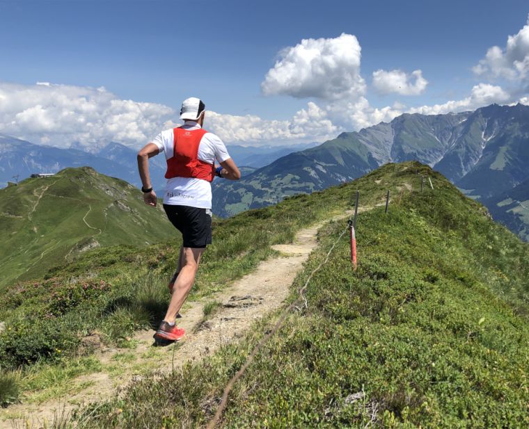
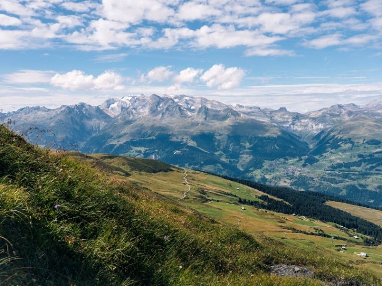
Sommeraktivitäten der Region Surselva
Sei es auf dem Mountainbike, beim Wandern oder beim Trailrunning: die Surselva ist ihre Spielwiese. Entdecken Sie die Aktivitäten der Region.
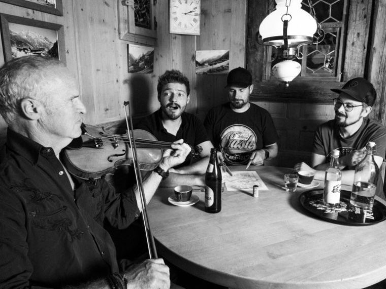
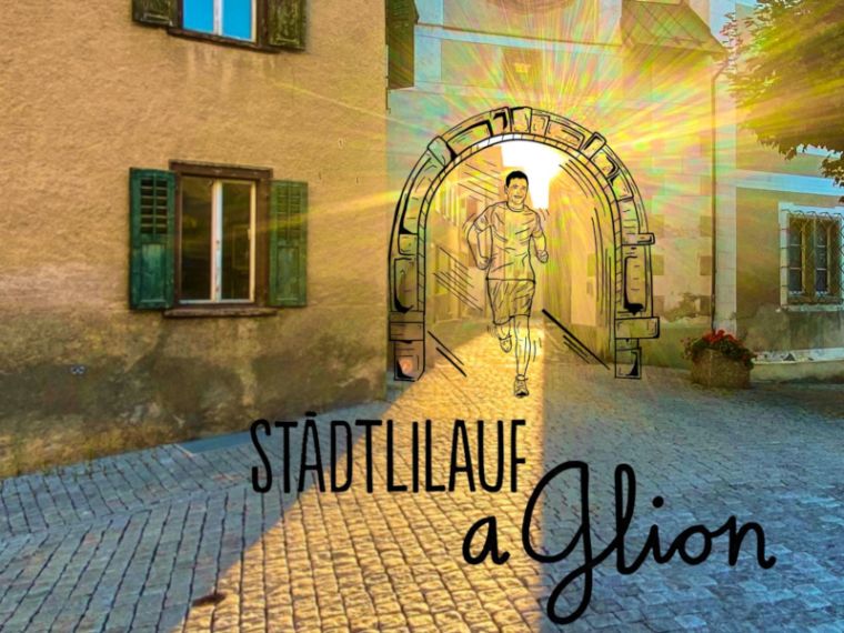
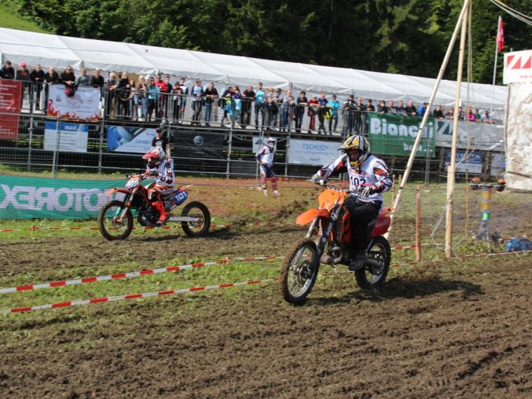
Unsere Top Events
Besuchen Sie einer unserer Events in der Surselva, es warten spannende und abwechslungsreiche Unterhaltungsprogramme auf Sie.


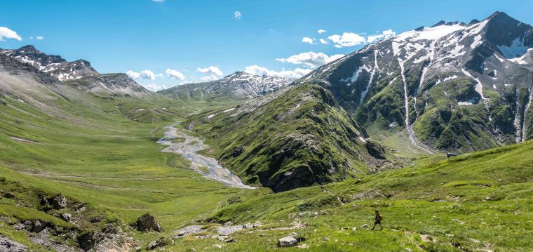
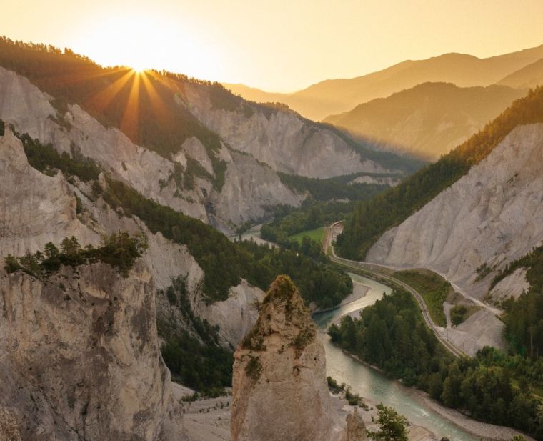
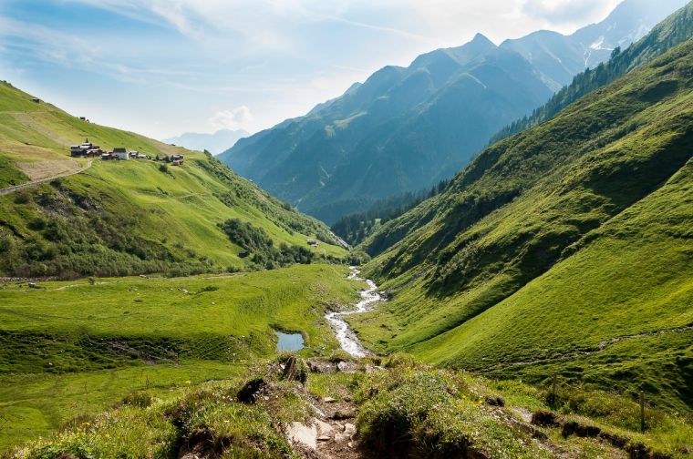
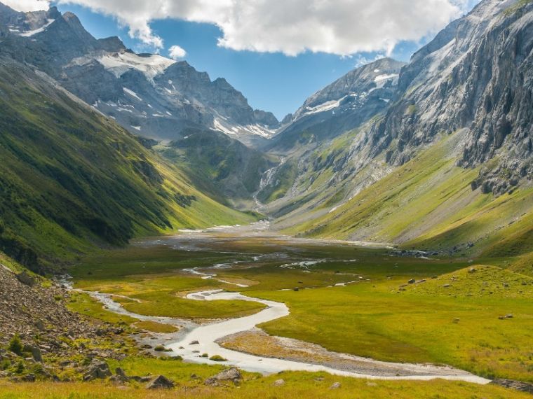
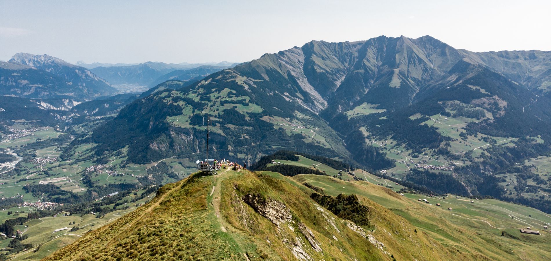
Unsere Wander-Highlights
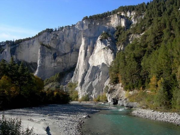
Verpassen Sie nicht die Highlights der Surselva-Wandertouren: Die Greina-Hochebene, das Val Frisal, die Rheinschlucht und die Gradwanderung von Obersaxen nach Lumnezia. Bitte beachten Sie die Wanderwege durch die wundersamen und mehrheitlich geschützten Landschaften.

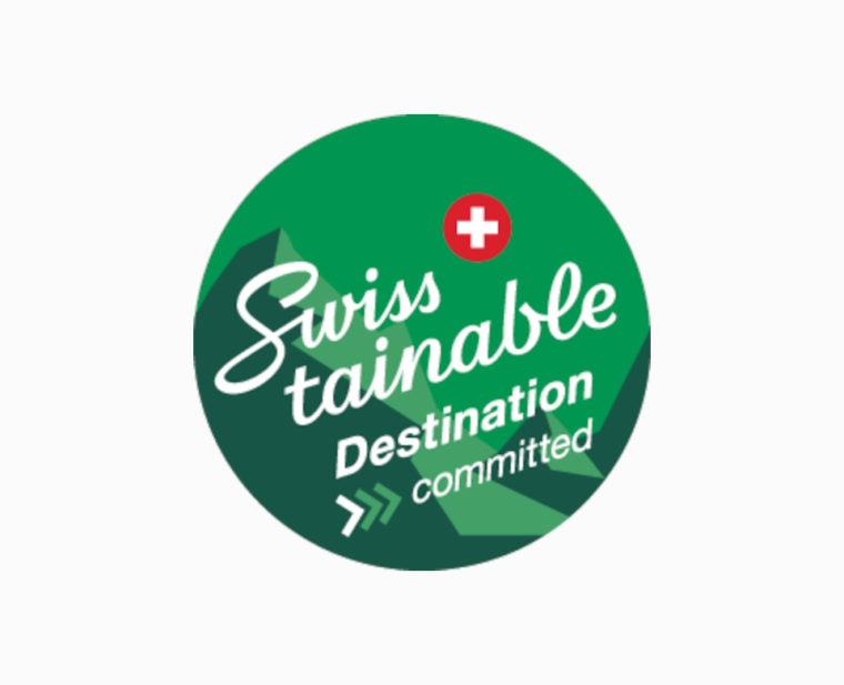
Swisstainable Destination
Wir freuen uns, dass die Tourismusdestination Surselva als eine der ersten drei Destinationen der Schweiz in das Swisstainable-Nachhaltigkeitsprogramm aufgenommen wurde. Wir sind stolz und dankbar, dass so viele unserer Tourismusbetriebe und Gemeinden gemeinsam mit uns die Chancen und Herausforderungen der nachhaltigen Entwicklung anpacken wollen.
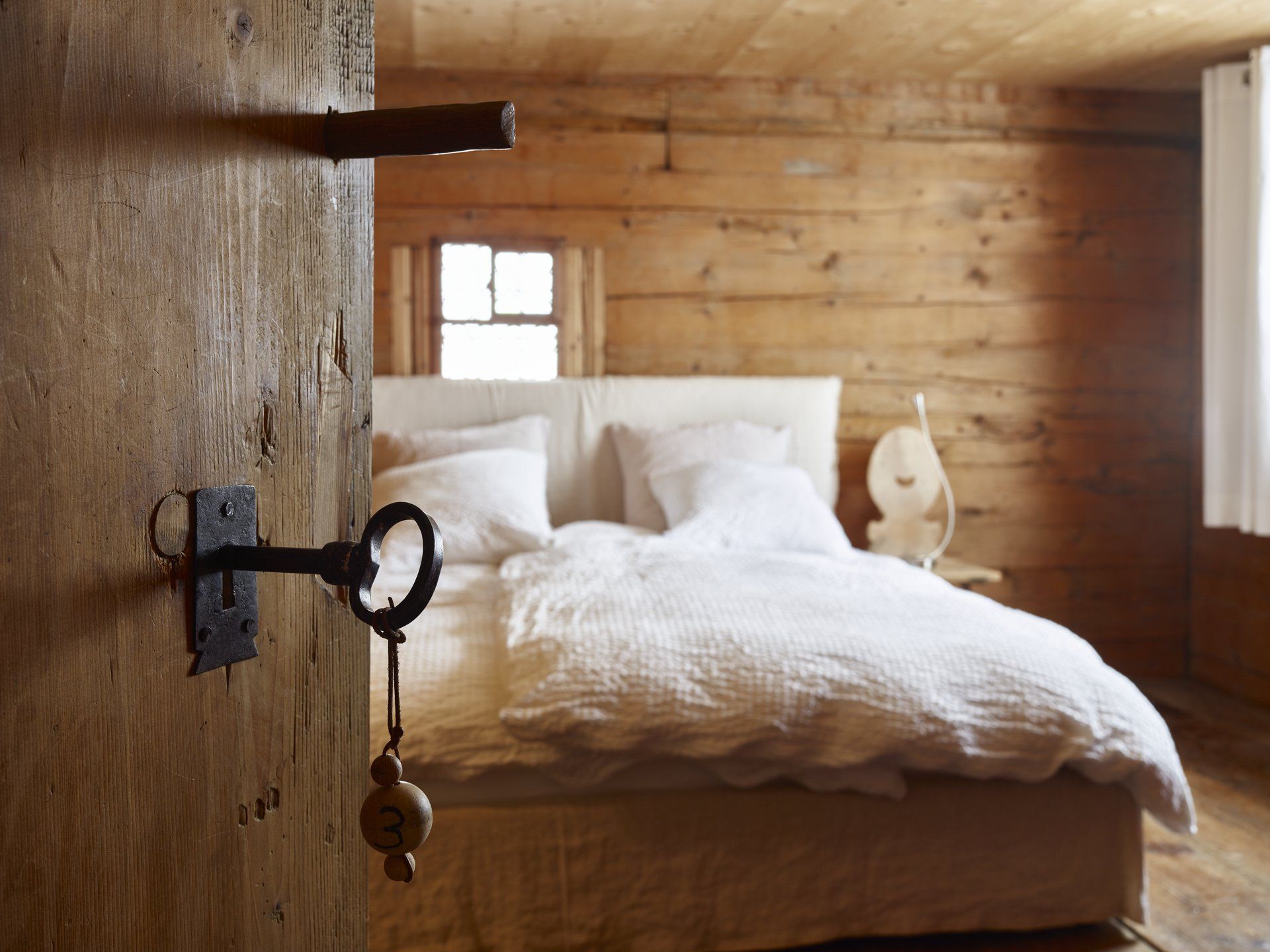
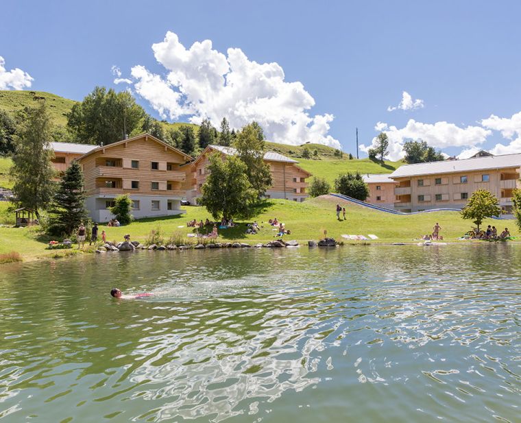
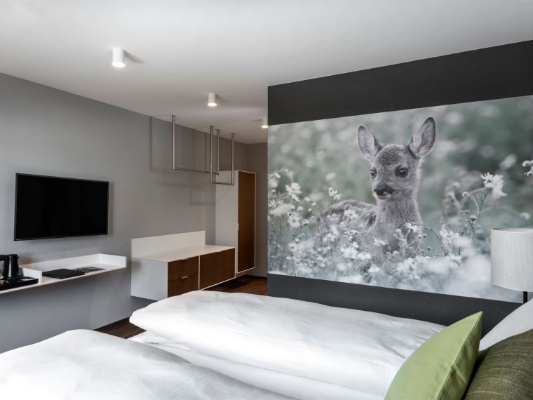
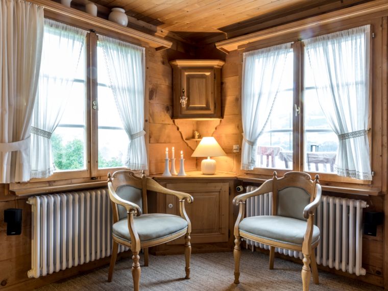
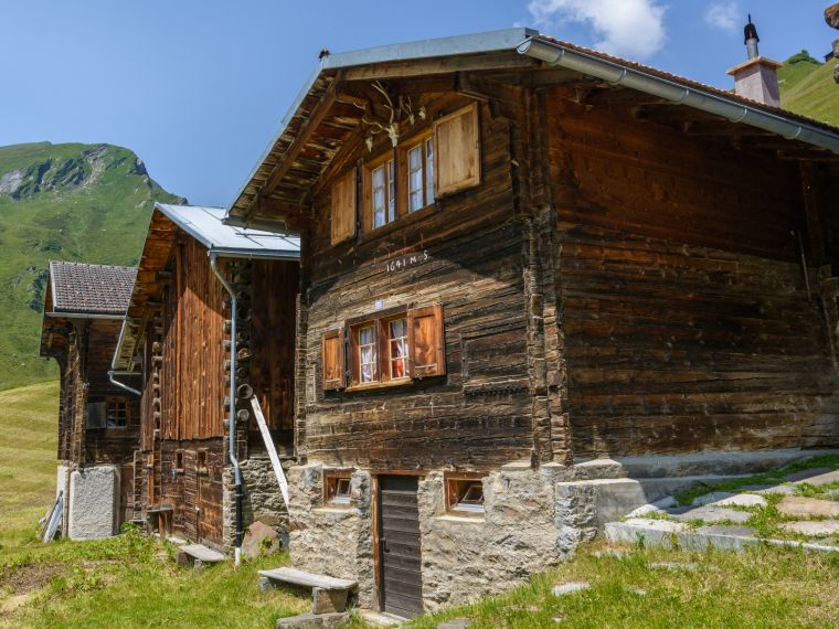
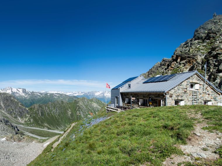
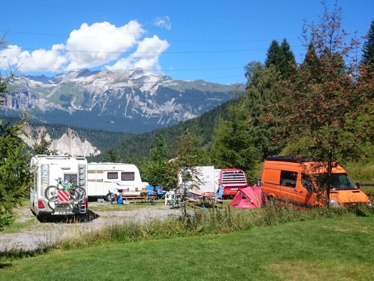
Unterkünfte
Die Surselva bietet eine grosse Auswahl an Unterkünften: sei es ein Hotelzimmer, eine moderne Ferienwohnung oder ein einfaches Maiensäss. Jede Unterkunft bietet Ihnen ein Zuhause in der Ferne.
Gerne sind wir Ihnen bei der Suche behilflich, kontaktieren Sie das jeweilige Infobüro.
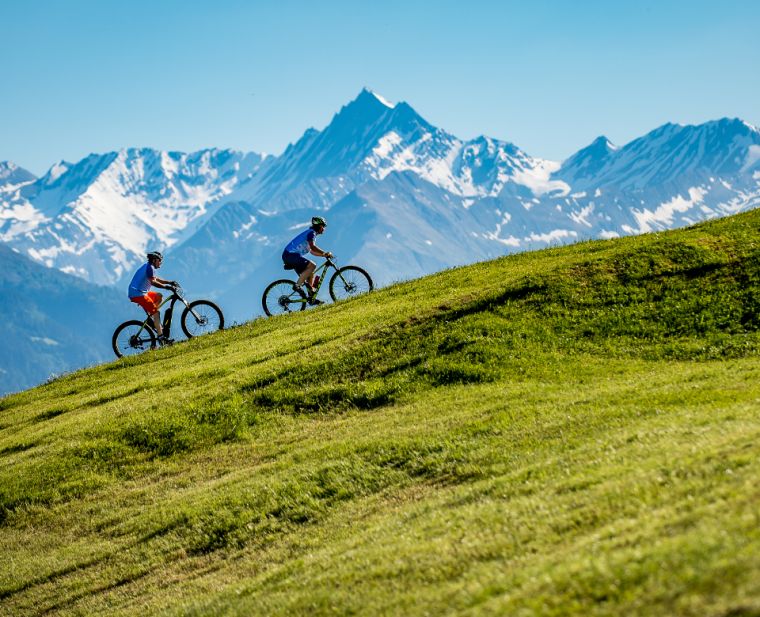
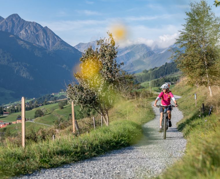
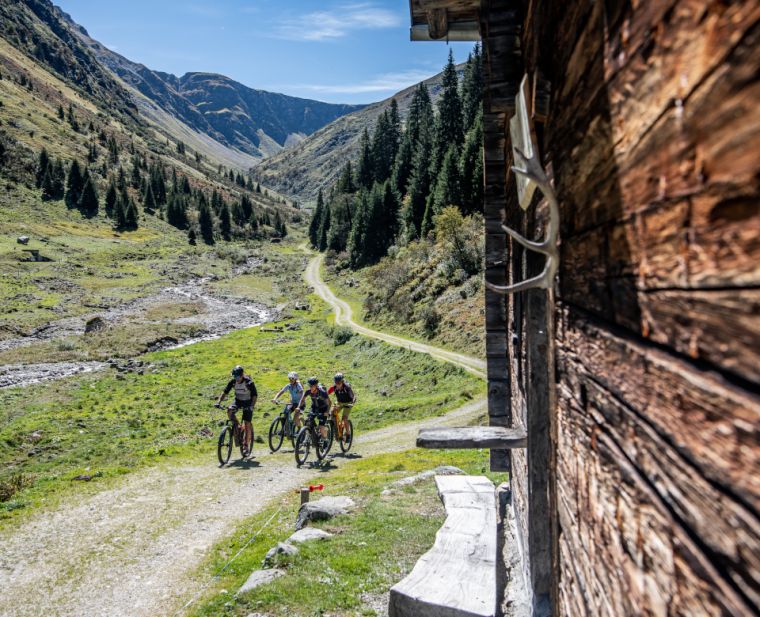
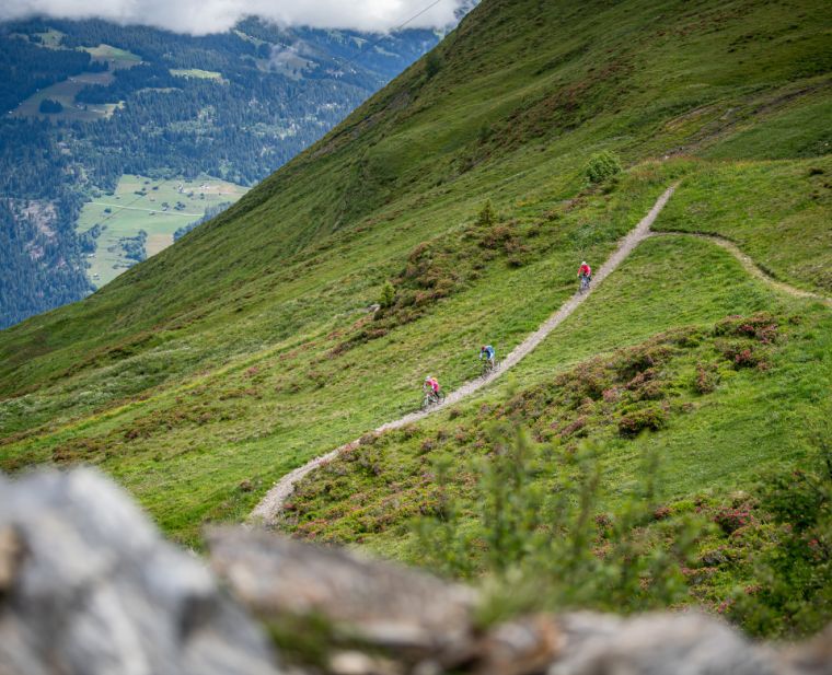
Unsere Bike-Tipps
Die Surselva bietet unzählige Bike-Trails. Nachfolgend haben wir unsere Bike-Tipps für diese Saison zusammengefasst. Egal ob Cross Country, All Mountain oder E-Mountainbike - wir haben für jeden etwas dabei.
Die Surselva ist schnell und einfach erreichbar. Besonders entspannt kommen Sie mit dem Zug an. Intercity-Züge via Basel-Zürich, Lindau (DE) oder Feldkirch (AT) bringen Sie stressfrei bis nach Chur.
Ab der Bündner Kantonshauptstadt geht es mit der Rhätischen Bahn in nur 36 Minuten durch die spektakuläre Rheinschlucht nach Ilanz oder Tavanasa, von wo Sie in einer kurzen Postautofahrt Ihr Reiseziel erreichen.